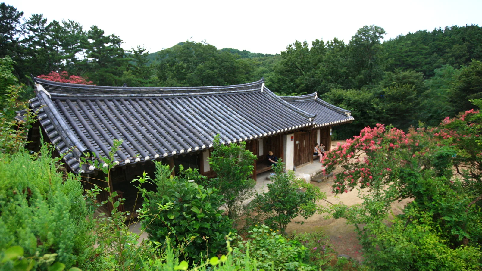
Gyeongju makes more sense once you know who built it. For nearly a thousand years the city was the capital of Silla, one of Korea's Three Kingdoms, and most of the major sights trace back to that single dynasty. Tombs, an observatory, a palace pond, mountain carvings and a great temple all belong to different stages of the same story. This guide sets out the timeline first, then shows where each period appears on the ground.
Silla in brief
Tradition dates Silla's founding to 57 BC. It began as one of three rival kingdoms on the Korean peninsula, alongside Goguryeo and Baekje. In 676, with help from Tang China, Silla unified most of the peninsula. The kingdom lasted until 935.
Gyeongju was the capital for that whole span. In early records the city appears under the names Seorabeol and Geumseong, so those names may come up in museum labels and signs.
Two phases are worth keeping apart when sightseeing:
- The early period, roughly the 4th to 6th centuries, is the age of royal mound tombs and gold regalia.
- The later period, after Buddhism became the state religion in the 6th century, is the age of temples, pagodas and stone sculpture.
The mound tombs at Daereungwon
The large, grass-covered mounds in the middle of the city are royal burials from the 4th to 6th centuries. They are the most recognisable image of Gyeongju, and the tomb park (Daereungwon) sits within walking distance of the downtown area.
What to keep in mind:
- The mounds are earthen and tombs rather than hills. Their size reflects the status of the people buried inside.
- The park is a place to walk among them. Check the official site, Naver Map or Kakao Map for current access rules and which tombs can be entered.
- The finds from tombs of this type are what fill the museum cases described below.
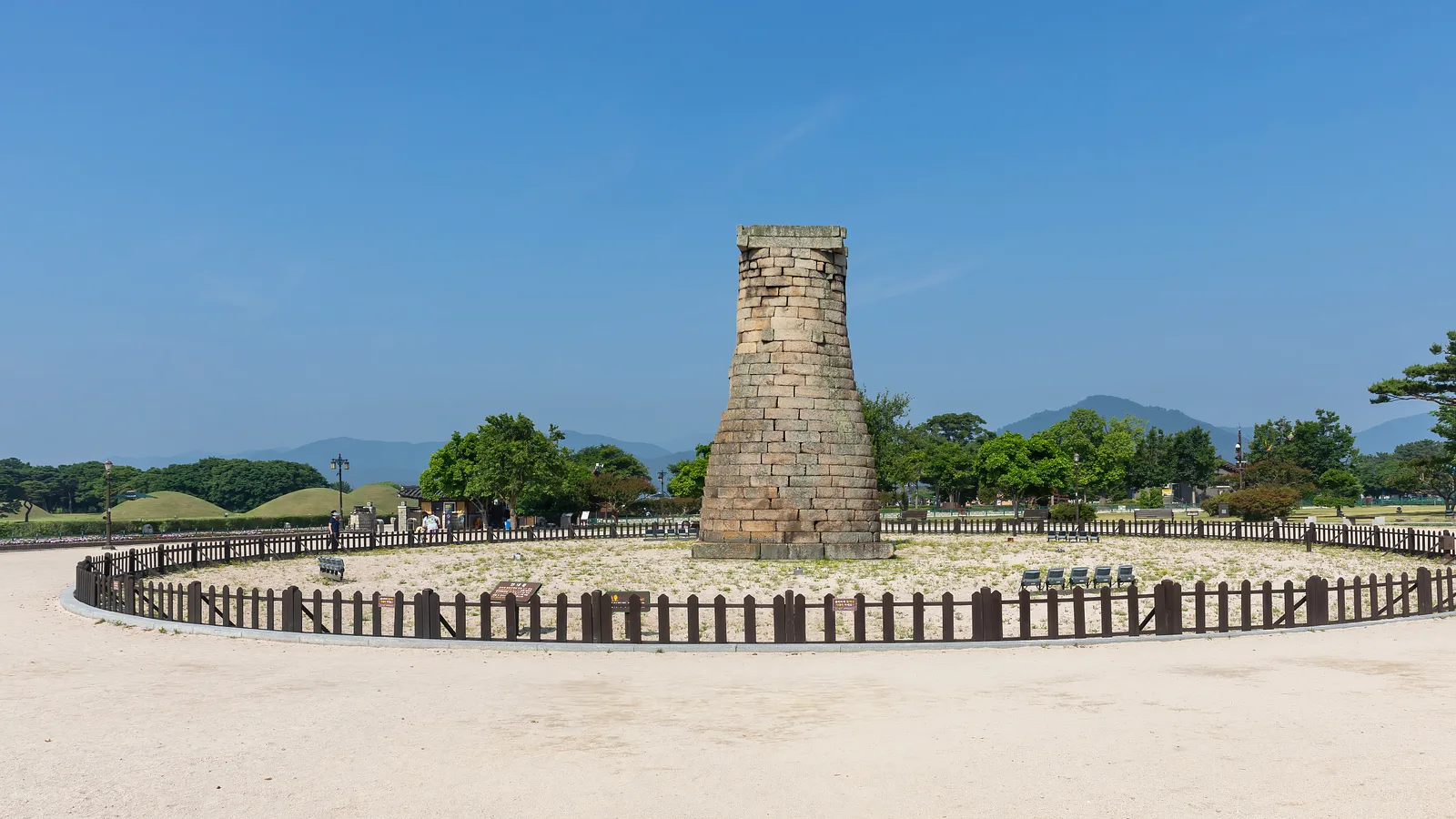
Cheomseongdae
Cheomseongdae is a 7th-century astronomical observatory, usually described as one of the oldest of its kind in East Asia. It is a compact stone structure and does not take long to see, but it is a useful marker: Silla rulers cared about the calendar and the sky, and the tower shows that the kingdom had organised scientific activity as well as military and religious power.
It sits close to the tomb park, so the two are easy to combine in one walk.
Wolji (Anapji)
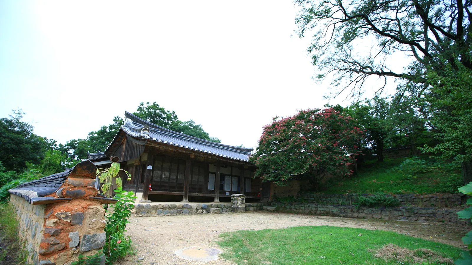
Wolji, also known as Anapji, was a pond in a palace garden. It is a reminder that Gyeongju was a royal city with residences and ceremonial spaces, not only tombs and temples. The pond and its surroundings are generally considered most atmospheric toward evening, when the layout of the garden is easier to read, but confirm current visiting arrangements on the official site or a map app.
Buddhism: Bulguksa, Seokguram and Namsan
When Buddhism became the state religion in the 6th century, the kingdom's artistic energy shifted toward religious building and sculpture. Three places show this best:
- Bulguksa, the temple complex on the slopes of Mt. Toham, is the best-known example of Silla Buddhist architecture.
- Seokguram, a stone grotto nearby, houses Buddhist sculpture and is usually visited together with Bulguksa.
- Namsan, the mountain south of downtown, has Buddhist carvings spread across its slopes and valleys. Seeing them involves hiking, so wear proper shoes and check trail conditions beforehand.
Bulguksa and Seokguram are reached from the city by bus or taxi. Confirm routes and timetables in Naver Map or Kakao Map, because they change.
Gyeongju National Museum
The museum is where the tomb era becomes concrete. Silla gold crowns are displayed here, and they are the clearest evidence of the wealth and ritual life of the early kingdom. Visiting the museum after walking the tomb park helps connect the empty mounds with the objects that came out of them.
For opening days, special exhibitions and any closures, check the official museum site before going.
Tips
- Treat Gyeongju as a two-part visit: tombs, observatory and pond in the city centre, then temples and mountain sites farther out.
- Visit the museum early in the trip so the crowns and artefacts give context to what follows.
- Keep Namsan for a day with good weather and enough energy; trails vary in difficulty.
- Do not rely on printed or remembered transport details. Check Naver Map or Kakao Map for current bus routes and timings.
- Verify opening hours, entry rules and tickets on each site's official page rather than third-party listings.
- Dates before the unification are traditional rather than precisely documented, so expect small differences between sources.